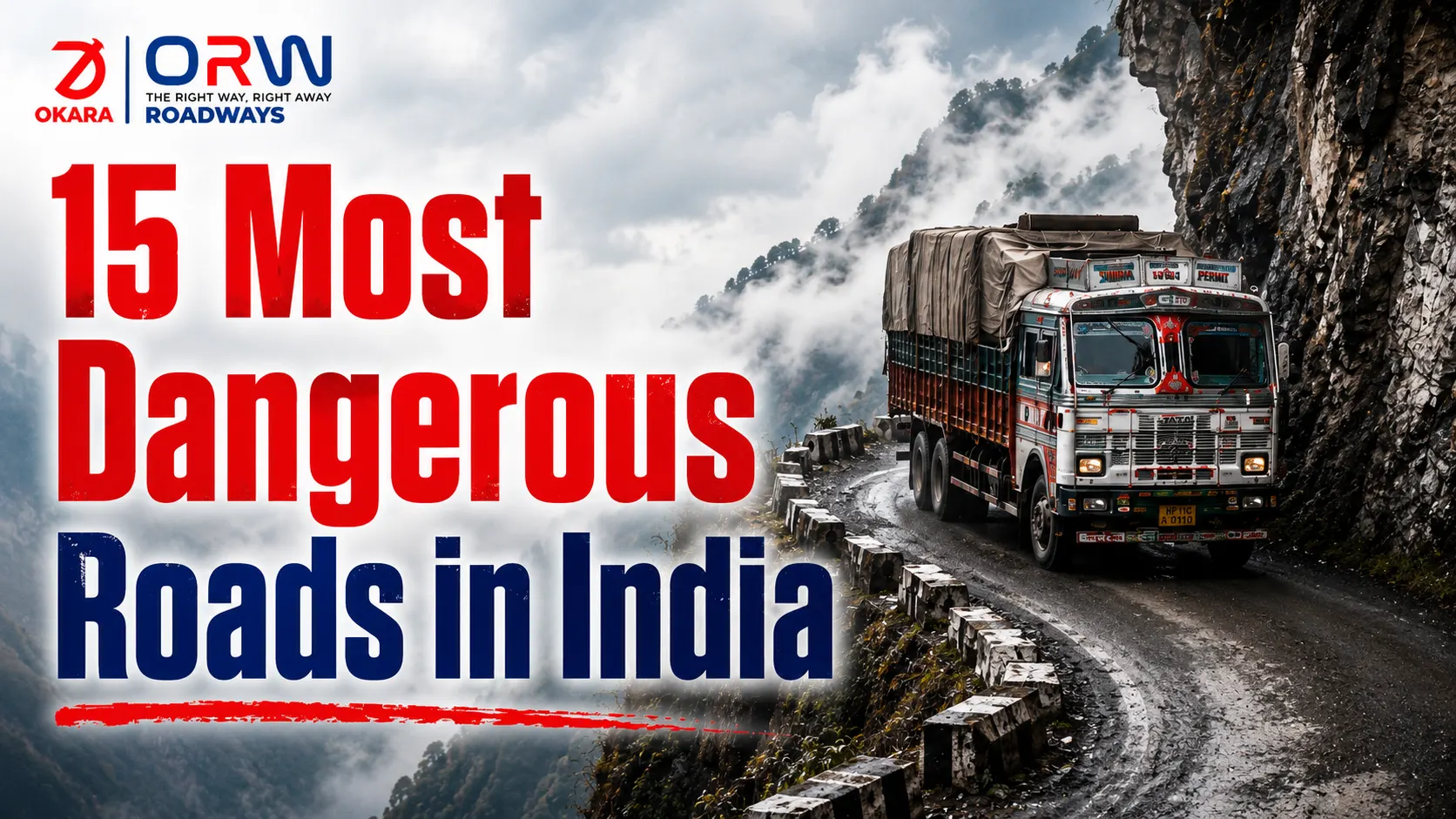
India has some of the most extraordinary road terrain in the world — and some of the most unforgiving. Mountain roads in India cut through Himalayan passes at altitudes where weather changes in minutes. Highway safety in India on national corridors is tested by volume, speed, and inconsistent infrastructure. Freight transportation companies moving goods across these routes manage risks that most people sitting in offices don’t think about until a consignment is delayed or lost.
Dangerous roads in India aren’t just a travel concern. Some of these routes have earned recognition as the world most dangerous road in India destinations for freight operators. They’re a logistics reality. Every day, heavy vehicles, cargo trucks, and commercial fleets navigate roads that have earned their reputation — through accident records, terrain extremes, and conditions that test even experienced drivers.
Okara Roadways operates across bad roads in India and all 36 states and union territories, with a fleet built for long-haul trucking and a route planning system that accounts for road condition data alongside standard delivery parameters. Understanding which routes present the greatest risk is part of how they keep goods moving safely.
Why Are Some Roads in India So Dangerous?
The reasons cluster around a few consistent factors.
Terrain. India’s northern mountain terrain creates roads with steep gradients, narrow lanes, no crash barriers, and sheer drops on one or both sides. These roads were often built for lighter traffic than what now uses them.
Weather unpredictability. Flash floods in monsoon, heavy snowfall in winter, and black ice in early morning make conditions on landslide-prone roads change faster than forecasts can track.
Traffic mix. India’s road network puts slow-moving heavy vehicles, motorcycles, local buses, and private cars in the same lanes — often with no separation. The interaction between these creates accident profiles that wide highways alone don’t solve.
Road infrastructure challenges. Many stretches — especially in hilly or rural areas — haven’t been maintained at the pace that traffic volume requires. Potholes, broken road edges, and missing signage compound the driver’s challenge.
15 Most Dangerous Roads in India
1. Leh–Manali Highway
One of the most documented routes in the Himalayas. The 479 km route crosses five passes above 4,000 metres, including Baralacha La and Tanglang La. Open only five to six months a year, it combines altitude sickness risk, narrow two-lane paths, and frequent landslide closures.
2. Zoji La Pass
At 3,528 metres on the Srinagar–Leh route, Zoji La earns its status through a combination of steep gradients, icy surfaces, and extremely narrow lanes that make two-way heavy vehicle movement hazardous. One of the most difficult high-altitude roads for cargo transportation in northern India.
3. Mumbai–Pune Expressway
A different category of danger. India’s first six-lane expressway sees over 40,000 vehicles daily. High speeds, frequent lane changes, dense morning fog in monsoon, and sections with poor visibility after dark make it one of the highest accident-density roads in Maharashtra.
4. Rohtang Pass
The 51 km road to Rohtang at 3,978 metres near Manali is plagued by sudden snowfall, overcrowding in peak season, and surfaces that deteriorate rapidly under traffic. Commercial vehicle safety on this pass requires specific permits and timing.
5. Khardung La Pass
At 5,359 metres, Khardung La is one of the highest motorable roads in the world. Extreme altitude brings thin air, unpredictable surface conditions, and limited emergency access. Used for cargo transportation to Siachen sector — logistics here is conducted at the margin of what vehicles can manage.
6. Kinnaur Road
The Hindustan–Tibet Road through Kinnaur district in Himachal Pradesh runs along sheer cliff faces with sections that barely accommodate one vehicle at a time. Rockfalls are frequent, the road edge is unprotected, and monsoon season makes it particularly hazardous.
7. Jammu–Srinagar Highway (NH44)
The primary road connection to Kashmir. Subject to landslides, snowfall closures, and security concerns, this road combines physical terrain risk with operational unpredictability. Supply chain transportation to Srinagar depends heavily on real-time route condition updates.
8. Nathu La Pass
At 4,310 metres on the India–China border in Sikkim. The road is narrow, often icy, and subject to abrupt weather changes. Used for interstate goods movement to the region, requiring planning around seasonal windows.
9. National Highway 22
The old Hindustan–Tibet highway, now largely reclassified. This stretch through Shimla and toward Kinnaur has sections where road infrastructure challenges are acute — single-lane stretches, unstable hillsides, and heavy tourist traffic in season.
10. Munnar Road
The roads approaching Munnar in Kerala involve steep hairpin bends, mist and fog that reduce visibility to near zero in the morning, and surfaces that become treacherous in heavy rain. Commercial vehicle safety here requires reduced speeds and careful scheduling.
11. Kotdwar–Dehradun Road
A shorter stretch but consistently problematic. Dense forest sections, narrow lanes, and heavy vehicle traffic create congestion and accident risk on a corridor that connects industrial Uttarakhand to Delhi.
12. Chang La Pass
At 5,360 metres in Ladakh, Chang La is among the highest dangerous mountain passes used for vehicle access. Road surface conditions deteriorate rapidly and recovery vehicles have limited access at this altitude.
13. Sela Pass
At 4,170 metres in Arunachal Pradesh on the road to Tawang. Snow closes the pass for months; the remaining open season brings heavy military and civilian traffic on a single road with significant drop-offs. Long-haul trucking here requires specific vehicle preparation.
14. East Coast Road (Tamil Nadu)
A contrast to the mountain routes — ECR near Chennai and heading south is flat but dangerous through speed. The four-lane coastal highway sees high-speed crashes concentrated at specific stretches, particularly at night. Road accident risks here are a function of driver behaviour rather than terrain.
15. Old Mumbai–Goa Highway (NH66)
The old national highway through coastal Maharashtra and into Goa. Narrow sections, ghat climbs, and mixed traffic — tourist vehicles, local buses, and freight trucks — create a high accident frequency on a route that handles significant road transportation in India volume.
What Makes These Roads Dangerous?
Looking across the fifteen routes, a few conditions appear repeatedly.
Altitude combined with narrow lanes is the defining characteristic of India’s mountain dangerous roads. The road doesn’t need to be in bad repair to be lethal — the terrain creates the risk regardless of surface quality. High-altitude roads remove the margin for driver error that exists on flat highways.
Inconsistency is the second factor. A route that is safe for 80% of its length and lethal for a 2 km section creates a risk profile that requires the whole route to be treated with heightened caution.
The Challenges of Transporting Goods on India’s Deadliest Roads
For fleet safety management and cargo transportation, India’s deadliest roads create specific operational problems.
Schedule predictability disappears. A road that takes 6 hours in good conditions may take 12 during monsoon, or close entirely after a landslide. This makes delivery commitment difficult and increases holding costs when consignments are delayed.
Vehicle load matters more at altitude. Heavy vehicle transportation at high altitude puts additional stress on engines, brakes, and tyres. Overloaded trucks on passes that require sustained downhill braking have a poor safety record.
Emergency access is limited. On remote mountain routes, a breakdown or accident may take hours to reach. Logistics transportation on these routes requires vehicle preparation and contingency planning that urban route management doesn’t.
Safety Tips for Drivers and Transporters
Check conditions before departure. Weather forecasts and road condition reports for mountain routes are available through state transport authorities. A forecast-based departure decision reduces the risk of being caught in deteriorating conditions.
Respect vehicle weight limits. Overloading on mountain roads increases braking distance and reduces steering control. Safe goods transportation services starts with load compliance.
Avoid night driving on mountain routes. Visibility is lower, wildlife crossings are more frequent, and infrastructure failures like missing road edge markers are harder to see.
Maintain vehicles for altitude. Brake fluid, tyre pressure, and fuel systems all behave differently at high altitude. Vehicle preparation specific to the route is part of route planning and optimization.
Use convoy protocols where relevant. On routes like Kinnaur or the Manali–Leh Highway, driving in convoy with communication between vehicles provides a safety net for breakdown situations.
How Reliable Logistics Planning Helps Reduce Risks
The risk on dangerous roads in India can’t be eliminated — but it can be managed. Transport logistics management that incorporates route condition data, seasonal calendars, and real-time updates gives dispatchers and drivers better information to work with.
Experienced operators who know these routes build contingency into their scheduling. They know which passes close after heavy snowfall and how long reopening typically takes. They have maintenance contacts along key routes and local knowledge that GPS systems don’t carry.
Okara Roadways’ digital operations and pan-India network mean route decisions are made with live fleet visibility and driver communication rather than on assumption. For B2B freight clients whose supply chain depends on reliable movement through difficult terrain, this planning capacity is what makes the difference between a consignment that arrives and one that doesn’t.
Conclusion
Dangerous roads in India test both drivers and logistics planners differently from standard routes. The fifteen routes covered here include some of the world most dangerous road in India locations — challenges of terrain, altitude, weather, and infrastructure that are all active freight corridors.
India’s deadliest roads and bad roads in India generally are not going to be rerouted or reconstructed quickly. The response from logistics operators who move goods across them is better planning, better vehicle preparation, and real-time information that allows decisions to be made on current conditions rather than historical assumptions.
Visit okararoadways.net or call 7065001053 for freight enquiries across India’s challenging road network.
FAQs
1. Which is the most dangerous road in India?
Leh–Manali Highway is considered one of India’s most dangerous roads due to its altitude, terrain, and weather conditions.
2. Why are some roads in India so dangerous?
Steep terrain, landslides, poor visibility, extreme weather, and heavy traffic make certain roads especially hazardous.
3. Are freight trucks allowed on dangerous mountain roads?
Yes, but operators follow strict safety measures, route planning, and seasonal travel guidelines.
4. When should drivers avoid travelling on dangerous roads in India?
Avoid travelling during heavy rain, snowfall, landslide warnings, or at night on mountain routes whenever possible.
5. How can transport companies improve safety on challenging routes?
By using real-time route monitoring, trained drivers, proper vehicle maintenance, and careful load management.